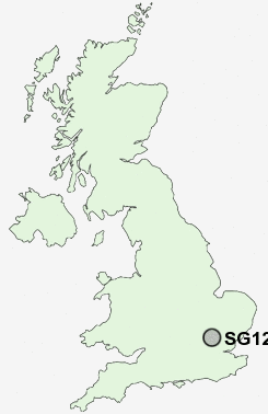
Postcode : SG12 9, Hertfordshire
Postcodes in the SG12 9 district. Covering areas such as Rush Green, Presdales, Great Amwell and Hertfordshire.
Postcode Area SG : Stevenage
SG12 Postcode Sectors
SG12 7 Babbs Green, Bakers End, Cold Christmas, Helham Green, Nobland Green
SG12 0 Chapmore End, Dane End, Green End, Sacombe, Sacombe Green
SG12 0 Chapmore End, Dane End, Green End, Sacombe, Sacombe Green
SG12 9 Great Amwell, Presdales, Rush Green
SG12 8 Hunsdon, Hunsdonbury, St Margarets, Stanstead Abbotts, Widford
SG12 8 Hunsdon, Hunsdonbury, St Margarets, Stanstead Abbotts, Widford
SG12 9 Nearby Postcode Districts
AL1 AL10 AL2 AL3 AL4 AL5 AL6 AL7 AL8 AL9 CM16 CM17 CM18 CM19 CM20 CM21 CM22 CM23 CM5 EN10 EN11 EN6 EN7 EN8 EN9 LU1 LU2 SG10 SG11 SG12 SG13 SG14 SG3 WD5
Stations near to SG12 9
Ware Rail Station about 0.97 miles away.Hertford East Rail Station about 1.58 miles away.
St Margarets (Herts) Rail Station about 1.69 miles away.
Rye House Rail Station about 2.51 miles away.
Broxbourne Rail Station about 3.48 miles away.
SG12 9 Schools
Presdales SchoolWheatcroft Primary School
The Chauncy School
Simon Balle School
Tower Primary School
Roselands Primary School
Kingshill Infant School
The Cranbourne Primary School
Priors Wood Primary School
UK Search
Antique Furniture
1000s of pieces of Antique Furniture for sale from British antique dealers.