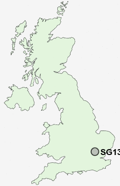
Postcode : SG13 7, Hertford, Hertfordshire
Postcodes in the SG13 7 district. Covering areas such as Hertford Heath and Hertford in Hertfordshire.
Postcode Area SG : Stevenage
SG13 Postcode Sectors
SG13 7 Nearby Postcode Districts
AL1 AL10 AL2 AL3 AL4 AL5 AL6 AL7 AL8 AL9 CM16 CM17 CM18 CM19 CM20 CM21 CM22 CM23 CM5 EN10 EN11 EN6 EN7 EN8 EN9 LU1 SG10 SG11 SG12 SG13 SG14 SG3 WD5 WD7
Stations near to SG13 7
Ware Rail Station about 1.57 miles away.St Margarets (Herts) Rail Station about 1.64 miles away.
Hertford East Rail Station about 1.79 miles away.
Rye House Rail Station about 2.14 miles away.
Broxbourne Rail Station about 2.9 miles away.
SG13 7 Schools
Roselands Primary SchoolPresdales School
Wheatcroft Primary School
The Cranbourne Primary School
Simon Balle School
Westfield Community Primary School
UK Search
Antique Furniture
1000s of pieces of Antique Furniture for sale from British antique dealers.