Postcode : TN16 1, Greater London, Kent
Postcodes in the TN16 1 district. Covering areas such as Toy's Hill, Brasted, Goodley Stock, Brasted Chart, French Street, Westerham, The Chart, Hosey Hill and Greater London in Kent.
Postcode Area TN : Tonbridge
TN16 Postcode Sectors
TN16 3 Aperfield, Berry's Green, Biggin Hill
TN16 1 Brasted, Brasted Chart, French Street, Goodley Stock, Hosey Hill
TN16 1 Brasted, Brasted Chart, French Street, Goodley Stock, Hosey Hill
TN16 1 Nearby Postcode Districts
BR6 CR2 CR3 CR5 CR6 CR8 KT17 KT18 KT19 KT20 KT21 KT9 ME18 ME19 ME20 ME6 RH1 RH2 RH3 RH7 RH8 RH9 SM1 SM2 SM3 SM5 SM6 SM7 TN10 TN11 TN12 TN13 TN14 TN15 TN16 TN8 TN9
TN16 1 Schools
Churchill Church of England Voluntary Controlled Primary School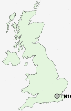
UK Search
Antique Furniture
1000s of pieces of Antique Furniture for sale from British antique dealers.