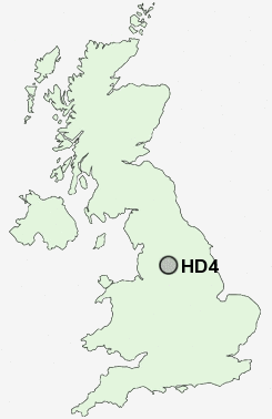
Postcode : HD4, Kirklees, West Yorkshire
Postcodes in the HD4 sector. Covering areas such as Netherton, Newsome, Thurstonland, Farnley Tyas, Farnley Bank, Armitage Bridge, Milnsbridge, South Crosland, Hall Bower, Green Side, Lumb, Berry Brow, Crosland Hill, Crosland Moor and Kirklees in West Yorkshire.
Postcode Area HD : Huddersfield
HD4 Postcode Sectors
HD4 7 Armitage Bridge, Crosland Hill, Netherton, South Crosland
HD4 6 Berry Brow, Farnley Bank, Farnley Tyas, Green Side, Hall Bower
HD4 6 Berry Brow, Farnley Bank, Farnley Tyas, Green Side, Hall Bower
HD4 Nearby Postcode Districts
HD1 HD2 HD3 HD4 HD5 HD6 HD7 HD8 HD9 HX1 HX3 HX4 HX5 HX6 M24 OL1 OL11 OL12 OL14 OL15 OL16 OL2 OL3 OL4 OL8 OL9 S70 S71 S75 WF1 WF12 WF13 WF14 WF15 WF16 WF17 WF2 WF3 WF4 WF5 WF6
Stations near to HD4
Berry Brow Rail Station about 0.36 miles away.Lockwood Rail Station about 0.63 miles away.
Honley Rail Station about 1.37 miles away.
Huddersfield Rail Station about 1.62 miles away.
Brockholes Rail Station about 2.28 miles away.
Deighton Rail Station about 3.45 miles away.
HD4 Schools
Newsome High SchoolBerry Brow Infant and Nursery School
Moor End Technology College
Crosland Moor Junior School
Netherton Infant and Nursery School
Spring Grove Junior Infant and Nursery School
Honley High School
Paddock Junior Infant and Nursery School
Royds Hall Community School
Moldgreen Community Primary School
UK Search
Antique Jewellery
including Antique Engagement Rings for sale from UK Antique specialists.