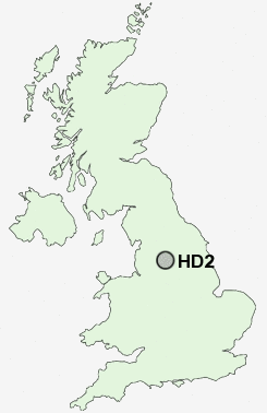
Postcode : HD2, Kirklees, West Yorkshire
Postcodes in the HD2 sector. Covering areas such as Cowcliffe, Fixby, Brackenhall, Edgerton, Sheepridge, Ainley Top, Prince Royd, Bradley, Birkby, Netheroyd Hill, Deighton, Elland Upper Edge, Fartown and Kirklees in West Yorkshire.
Postcode Area HD : Huddersfield
HD2 Postcode Sectors
HD2 Nearby Postcode Districts
BD11 BD12 BD19 BD6 HD1 HD2 HD3 HD4 HD5 HD6 HD7 HD8 HD9 HX1 HX2 HX3 HX4 HX5 HX6 HX7 LS10 LS26 LS27 OL11 OL12 OL14 OL15 OL16 OL2 S71 S72 WF1 WF12 WF13 WF14 WF15 WF16 WF17 WF2 WF3 WF4 WF5 WF6
Stations near to HD2
Deighton Rail Station about 0.95 miles away.Huddersfield Rail Station about 1.4 miles away.
Brighouse Rail Station about 2.09 miles away.
Lockwood Rail Station about 2.53 miles away.
Berry Brow Rail Station about 3.33 miles away.
HD2 Schools
Ashbrow Junior SchoolFartown High School
Birkby Junior School
Birkby Infant and Nursery School
Netherhall Learning Campus High School
Rawthorpe Junior School
Moldgreen Community Primary School
Spring Grove Junior Infant and Nursery School
UK Search
Antique Jewellery
including Antique Engagement Rings for sale from UK Antique specialists.