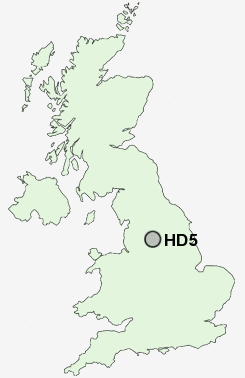
Postcode : HD5, Kirklees, West Yorkshire
Postcodes in the HD5 sector. Covering areas such as Cockley Hill, Almondbury, Upper Heaton, Rawthorpe, Lower Houses, Kirkheaton, Moldgreen, Nab Hill, Dalton, Hill Side, Lower Hopton, Cowmes, Tandem, Colne Bridge and Kirklees in West Yorkshire.
Postcode Area HD : Huddersfield
HD5 Postcode Sectors
HD5 8 Almondbury, Dalton, Lower Houses
HD5 0 Cockley Hill, Colne Bridge, Cowmes, Greenside, Hill Side
HD5 0 Cockley Hill, Colne Bridge, Cowmes, Greenside, Hill Side
HD5 Nearby Postcode Districts
BD12 BD19 HD1 HD2 HD3 HD4 HD5 HD6 HD7 HD8 HD9 HX1 HX2 HX3 HX4 HX5 HX6 HX7 OL1 OL14 OL15 OL16 OL2 OL3 S71 S72 S75 WF1 WF12 WF13 WF14 WF15 WF16 WF17 WF2 WF3 WF4 WF5 WF6 WF7
Stations near to HD5
Deighton Rail Station about 1.5 miles away.Huddersfield Rail Station about 1.59 miles away.
Berry Brow Rail Station about 2.64 miles away.
Honley Rail Station about 3.04 miles away.
HD5 Schools
Almondbury Community SchoolRawthorpe Junior School
Netherhall Learning Campus High School
Moldgreen Community Primary School
King James's School
Kirkheaton Primary School
Fartown High School
Birkby Junior School
Rowley Lane Junior Infant and Nursery School
UK Search
Antique Jewellery
including Antique Engagement Rings for sale from UK Antique specialists.