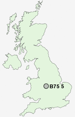
Postcode : B75 5, Birmingham, West Midlands
Postcodes in the B75 5 district. Covering areas such as Roughley, Hill Wood, Mere Green, Carroway Head, Watford Gap, Hill and Birmingham in Staffordshire, West Midlands.
Postcode Area B : Birmingham
B75 Postcode Sectors
B75 5 Nearby Postcode Districts
B20 B21 B23 B24 B35 B36 B42 B43 B44 B46 B6 B70 B71 B72 B73 B74 B75 B76 B77 B78 B79 CV10 CV11 CV9 DY1 DY3 DY4 WS1 WS10 WS11 WS13 WS14 WS2 WS3 WS4 WS5 WS6 WS7 WS8 WS9 WV1 WV10 WV11 WV12 WV13 WV14 WV2 WV3 WV4 WV5 WV6 WV8 WV9
Stations near to B75 5
Blake Street Rail Station about 0.59 miles away.Butlers Lane Rail Station about 0.72 miles away.
Four Oaks Rail Station about 1.55 miles away.
Sutton Coldfield Rail Station about 2.59 miles away.
Shenstone Rail Station about 2.62 miles away.
B75 5 Schools
Hill West Primary SchoolThe Arthur Terry School
Four Oaks Primary School
Mere Green Combined School
Little Sutton Primary School
Moor Hall Primary School
Little Aston Primary School
Coppice Primary School
UK Search
Antique Clocks
Browse Antique Clocks for sale from British antique dealers.