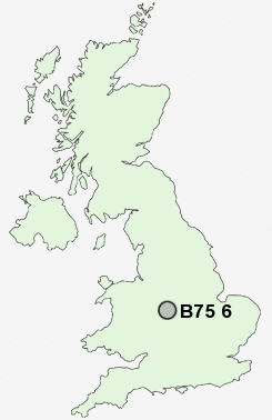
Postcode : B75 6, Birmingham, West Midlands
Postcodes in the B75 6 district. Covering areas such as Moor Hall, Whitehouse Common and Birmingham in West Midlands.
Postcode Area B : Birmingham
B75 Postcode Sectors
B75 6 Nearby Postcode Districts
B1 B16 B18 B19 B2 B20 B21 B23 B24 B3 B33 B34 B35 B36 B37 B4 B42 B43 B44 B46 B6 B65 B66 B67 B68 B69 B7 B70 B71 B72 B73 B74 B75 B76 B77 B78 B79 B8 B9 CV10 CV11 CV13 CV9 DY1 DY2 DY3 DY4 DY5 DY6 WS1 WS10 WS14 WS2 WS3 WS4 WS5 WS6 WS8 WS9 WV1 WV10 WV11 WV12 WV13 WV14 WV2 WV3 WV4 WV6 WV8 WV9
Stations near to B75 6
Four Oaks Rail Station about 1.13 miles away.Sutton Coldfield Rail Station about 1.18 miles away.
Butlers Lane Rail Station about 1.92 miles away.
Wylde Green Rail Station about 2.37 miles away.
Blake Street Rail Station about 2.73 miles away.
Chester Road Rail Station about 3.01 miles away.
Erdington Rail Station about 3.6 miles away.
B75 6 Schools
Moor Hall Primary SchoolJohn Willmott School
New Hall Primary and Children's Centre
Little Sutton Primary School
Town Junior School
Plantsbrook School
Mere Green Combined School
Holland House Infant School and Nursery
The Arthur Terry School
Maney Hill Primary School
Sutton Coldfield Grammar School for Girls
UK Search
Antique Clocks
Browse Antique Clocks for sale from British antique dealers.