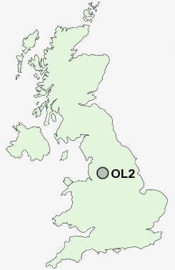
Postcode : OL2, Oldham, Greater Manchester
Postcodes in the OL2 sector. Covering areas such as Shaw, Low Crompton, Fullwood, Summit, Thorp, Shaw Side, Burnedge, Haggate, Oldham Edge, Crompton Fold, Long Sight, Gravel Hole, Royton, Clough and Oldham in Greater Manchester.
Postcode Area OL : Oldham
OL2 Postcode Sectors
OL2 7 Burnedge, High Crompton, Shaw, Shaw Side, Wood End
OL2 8 Clough, Crompton Fold, Dog Hill, Fullwood, Jubilee
OL2 8 Clough, Crompton Fold, Dog Hill, Fullwood, Jubilee
OL2 6 Gravel Hole, Heyside, Long Sight, Low Crompton, Luzley Brook
OL2 5 Haggate, Royton, Summit, Thorp
OL2 5 Haggate, Royton, Summit, Thorp
OL2 Nearby Postcode Districts
BL0 BL1 BL2 BL3 BL4 BL7 BL8 BL9 HD1 HD2 HD3 HD4 HD5 HD7 HD9 M1 M11 M2 M24 M25 M26 M27 M28 M29 M3 M30 M35 M38 M4 M40 M43 M45 M46 M5 M6 M60 M7 M8 M9 OL1 OL10 OL11 OL12 OL15 OL16 OL2 OL3 OL4 OL5 OL6 OL7 OL8 OL9 SK15 SK16
Stations near to OL2
Rochdale Rail Station about 3.24 miles away.OL2 Schools
Watersheddings Primary SchoolBeever Primary School
Burnley Brow Community School
UK Search
Antique Furniture
1000s of pieces of Antique Furniture for sale from British antique dealers.