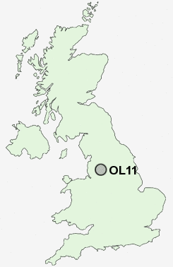
Postcode : OL11, Rochdale, Greater Manchester
Postcodes in the OL11 sector. Covering areas such as Kirkholt, Broadhalgh, Bamford, Spotland Bridge, Sudden, Marland, Bagslate Moor, Trub, Castleton, Norden, Stoneyfield and Rochdale in Greater Manchester.
Postcode Area OL : Oldham
OL11 Postcode Sectors
OL11 Nearby Postcode Districts
BB3 BB4 BL0 BL1 BL2 BL3 BL4 BL5 BL6 BL7 BL8 BL9 HD1 HD2 HD3 HD4 HD6 HD7 HD9 HX4 HX5 HX6 M24 M25 M26 M27 M28 M29 M35 M38 M45 M46 M8 M9 OL1 OL10 OL11 OL12 OL13 OL15 OL16 OL2 OL3 OL4 OL5 OL8 OL9
Stations near to OL11
Rochdale Rail Station about 0.89 miles away.Castleton (Manchester) Rail Station about 0.99 miles away.
OL11 Schools
Brimrod Community Primary SchoolMatthew Moss High School
Sandbrook Community Primary School
Broadfield Community Primary School
Oulder Hill Community School and Language College
Balderstone Technology College
Falinge Park High School
Springhill High School
UK Search
Antique Furniture
1000s of pieces of Antique Furniture for sale from British antique dealers.