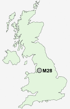
Postcode : M28, Salford, Greater Manchester
Postcodes in the M28 sector. Covering areas such as Roe Green, Worsley, Little Hulton, Mosley Common, Parr Brow, Hazelhurst, Linnyshaw, Hill Top, Boothstown, Walkden, Broadoak Park and Salford in Greater Manchester.
Postcode Area M : Manchester
M28 Postcode Sectors
M28 Nearby Postcode Districts
BL1 BL2 BL3 BL4 BL5 BL6 BL8 BL9 L35 M1 M11 M12 M13 M14 M15 M16 M17 M18 M19 M2 M20 M21 M24 M25 M26 M27 M28 M29 M3 M30 M31 M32 M33 M34 M35 M38 M4 M40 M41 M43 M44 M45 M46 M5 M6 M60 M7 M8 M9 OL1 OL10 OL11 OL16 OL2 OL3 OL4 OL5 OL6 OL7 OL8 OL9 SK14 SK15 SK16 SK4 SK5 WA10 WA11 WA12 WA3 WA9 WN1 WN2 WN3 WN4 WN5 WN6 WN7 WN8
Stations near to M28
Walkden Rail Station about 0.4 miles away.Moorside Rail Station about 1.86 miles away.
Kearsley Rail Station about 2.27 miles away.
Farnworth Rail Station about 2.52 miles away.
Patricroft Rail Station about 2.57 miles away.
Moses Gate Rail Station about 2.91 miles away.
M28 Schools
James Brindley Community Primary SchoolWalkden High School
Hilton Lane Primary School
Bridgewater Primary School
North Walkden Primary School
Peel Hall Primary School
Broadoak Primary School
Dukesgate Primary School
UK Search
Antique Furniture
1000s of pieces of Antique Furniture for sale from British antique dealers.