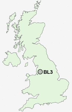
Postcode : BL3, Bolton, Greater Manchester
Postcodes in the BL3 sector. Covering areas such as Burnden, Fernhill Gate, Willows, Great Lever, Little Lever, Bolton, Gilnow, Nob End, Deane, Daubhill, Rose Hill and Bolton in Greater Manchester.
Postcode Area BL : Bolton
BL3 Postcode Sectors
BL3 Nearby Postcode Districts
BL0 BL1 BL2 BL3 BL4 BL5 BL6 BL7 BL8 BL9 M1 M11 M15 M17 M2 M24 M25 M26 M27 M28 M29 M3 M30 M35 M38 M4 M40 M43 M45 M46 M5 M6 M60 M7 M8 M9 OL1 OL10 OL11 OL12 OL15 OL16 OL2 OL4 OL5 OL6 OL7 OL8 OL9 PR7 SK15 SK16 WA11 WN1 WN2 WN3 WN4 WN5 WN6 WN7 WN8
Stations near to BL3
Bolton Rail Station about 0.67 miles away.Moses Gate Rail Station about 1.37 miles away.
Farnworth Rail Station about 2.05 miles away.
Hall i' th' Wood Rail Station about 2.36 miles away.
Atherton Rail Station about 3.16 miles away.
Walkden Rail Station about 3.43 miles away.
Bromley Cross Rail Station about 3.49 miles away.
BL3 Schools
Hayward SchoolHarper Green School
Queensbridge Primary School
The Valley Community Primary School
UK Search
Antique Clocks
Browse Antique Clocks for sale from British antique dealers.