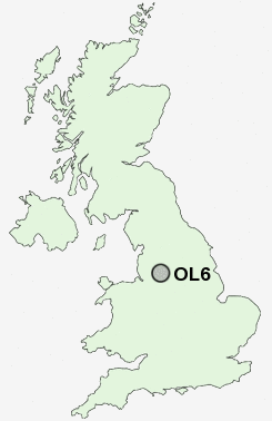
Postcode : OL6, Tameside, Greater Manchester
Postcodes in the OL6 sector. Covering areas such as Ashton-Under-Lyne, Park Bridge, Smallshaw, Luzley, Alt Hill, Hurst, Hartshead Green and Tameside in Greater Manchester.
Postcode Area OL : Oldham
OL6 Postcode Sectors
OL6 Nearby Postcode Districts
BL1 BL2 BL3 BL4 BL9 HD9 M1 M11 M12 M13 M14 M15 M16 M17 M18 M19 M2 M20 M21 M23 M24 M25 M26 M27 M28 M29 M3 M30 M31 M32 M33 M34 M35 M38 M4 M40 M41 M43 M44 M45 M5 M6 M60 M7 M8 M9 OL1 OL10 OL2 OL3 OL4 OL5 OL6 OL7 OL8 OL9 SK1 SK13 SK14 SK15 SK16 SK2 SK3 SK4 SK5 SK6
Stations near to OL6
Ashton-under-Lyne Rail Station about 0.43 miles away.Guide Bridge Rail Station about 1.78 miles away.
Hyde North Rail Station about 2.02 miles away.
Flowery Field Rail Station about 2.23 miles away.
Hyde Central Rail Station about 2.91 miles away.
Godley Rail Station about 3.18 miles away.
Denton Rail Station about 3.2 miles away.
Hattersley Rail Station about 3.84 miles away.
OL6 Schools
Waterloo Primary SchoolHolden Clough Community Primary School
Ravensfield Primary School
Astley Sports College and Community High School
UK Search
Antique Furniture
1000s of pieces of Antique Furniture for sale from British antique dealers.