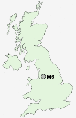
Postcode : M6, Salford, Greater Manchester
Postcodes in the M6 sector. Covering areas such as Brindle Heath, Seedley, Irlams o' th' Height, Charlestown, Salford, Swinton Park, Pendleton, Weaste, Salford and Greater Manchester.
Postcode Area M : Manchester
M6 Postcode Sectors
M6 Nearby Postcode Districts
BL1 BL2 BL3 BL4 BL5 BL6 BL9 M1 M11 M12 M13 M14 M15 M16 M17 M18 M19 M2 M20 M21 M23 M24 M25 M26 M27 M28 M29 M3 M30 M31 M32 M33 M34 M35 M38 M4 M40 M41 M43 M44 M45 M46 M5 M6 M60 M7 M8 M9 OL1 OL10 OL2 OL3 OL4 OL5 OL6 OL7 OL8 OL9 SK1 SK13 SK14 SK15 SK16 SK2 SK3 SK4 SK5 SK6 WA1 WA12 WA2 WA3 WA5 WN1 WN2 WN3 WN4 WN5 WN6 WN7
Stations near to M6
Salford Crescent Rail Station about 0.95 miles away.Eccles Rail Station about 1.61 miles away.
Salford Central Rail Station about 1.84 miles away.
Manchester United FC Rail Station about 2.08 miles away.
Clifton (Manchester) Rail Station about 2.23 miles away.
Deansgate Rail Station about 2.25 miles away.
Swinton (Manchester) Rail Station about 2.29 miles away.
Humphrey Park Rail Station about 3.02 miles away.
M6 Schools
Buile Hill High SchoolLangworthy Road Primary School
Light Oaks Junior School
Ellesmere Park High School
The Friars Primary School
Clarendon Road Community Primary School
UK Search
Antique Furniture
1000s of pieces of Antique Furniture for sale from British antique dealers.