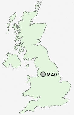
Postcode : M40, Greater Manchester
Postcodes in the M40 sector. Covering areas such as New Moston, Moston, Collyhurst, Miles Platting, Newton Heath and Greater Manchester.
Postcode Area M : Manchester
M40 Postcode Sectors
M40 Nearby Postcode Districts
BL1 BL2 BL3 BL4 BL5 BL6 BL9 HD9 M1 M11 M12 M13 M14 M15 M16 M17 M18 M19 M2 M20 M21 M24 M25 M26 M27 M28 M29 M3 M30 M31 M32 M33 M34 M35 M38 M4 M40 M41 M43 M44 M45 M46 M5 M6 M60 M7 M8 M9 OL1 OL10 OL2 OL3 OL4 OL5 OL6 OL7 OL8 OL9 SK1 SK13 SK14 SK15 SK16 SK4 SK5 SK6 WA2 WA3 WN2 WN7
Stations near to M40
Moston Rail Station about 1.55 miles away.Ashburys Rail Station about 2.24 miles away.
Ardwick Rail Station about 2.46 miles away.
Manchester Piccadilly Rail Station about 2.49 miles away.
Gorton Rail Station about 2.6 miles away.
Fairfield Rail Station about 2.9 miles away.
Belle Vue Rail Station about 2.9 miles away.
Mills Hill (Manchester) Rail Station about 3.36 miles away.
M40 Schools
Mather Street Primary SchoolPropps Hall Junior Infant and Nursery School
Park View Community Primary
South Failsworth Community Primary School
Whitegate End Primary and Nursery School
South Chadderton School
Ashbury Meadow Primary School
UK Search
Antique Furniture
1000s of pieces of Antique Furniture for sale from British antique dealers.