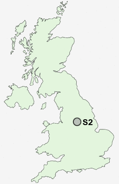
Postcode : S2, Sheffield, South Yorkshire
Postcodes in the S2 sector. Covering areas such as Westfield, Waleswood, Slade Hooton, Harthill, Laughton en le Morthen, Westthorpe, Marsh Lane, Killamarsh, Lowfield, Bramley, West Handley, Manor Estate, North Anston, Arbourthorne, Sheffield, Rotherham and Derbyshire in South Yorkshire.
Postcode Area S : Sheffield
S2 Postcode Sectors
S2 Nearby Postcode Districts
DN11 S1 S10 S11 S12 S13 S14 S17 S18 S2 S20 S21 S25 S26 S3 S32 S33 S35 S4 S5 S6 S60 S61 S62 S65 S66 S7 S8 S80 S81 S9
Stations near to S2
Sheffield Rail Station about 0.87 miles away.Darnall Rail Station about 1.71 miles away.
Meadowhall Rail Station about 3.55 miles away.
S2 Schools
Sheffield Springs AcademySheffield Springs Academy
Anns Grove Primary School
Pipworth Community Primary School
Sharrow Nursery, Infant and Junior School
Carfield Primary School
Acres Hill Community Primary School
Newfield Secondary School
Netherthorpe Primary School
UK Search
Antique Furniture
1000s of pieces of Antique Furniture for sale from British antique dealers.