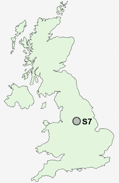
Postcode : S7, Sheffield, South Yorkshire
Postcodes in the S7 sector. Covering areas such as South Lane, Kexbrough, Havercroft, Darfield, West Green, Carter Knowle, Staincross, South Hiendley, Millhouses, Monk Bretton, Upper Cudworth, Higham Common, Low Barugh, Tivy Dale, Lundwood, Sheffield and Barnsley in South Yorkshire, West Yorkshire.
Postcode Area S : Sheffield
S7 Postcode Sectors
S7 Nearby Postcode Districts
S1 S10 S11 S12 S13 S14 S17 S18 S2 S20 S21 S25 S26 S3 S32 S33 S4 S43 S5 S6 S60 S61 S65 S66 S7 S8 S80 S81 S9
Stations near to S7
Sheffield Rail Station about 2.01 miles away.Dore & Totley Rail Station about 2.12 miles away.
S7 Schools
Dobcroft Infant SchoolCarfield Primary School
Anns Grove Primary School
Sharrow Nursery, Infant and Junior School
Greystones Primary School
Newfield Secondary School
High Storrs School
King Edward VII School
Greenhill Primary School
UK Search
Antique Furniture
1000s of pieces of Antique Furniture for sale from British antique dealers.