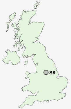
Postcode : S8, Sheffield, South Yorkshire
Postcodes in the S8 sector. Covering areas such as Hodthorpe, Bakestone Moor, Elmton, Whitwell, Wigthorpe, Letwell, Thorpe Salvin, Penny Green, Oldcotes, North Carlton, Norton Woodseats, Oxcroft Estate, Norton, Turnerwood, Meadow Head, Nottinghamshire and Sheffield in Derbyshire, South Yorkshire.
Postcode Area S : Sheffield
S8 Postcode Sectors
S8 Nearby Postcode Districts
S1 S10 S11 S12 S13 S14 S17 S18 S2 S20 S21 S25 S26 S3 S32 S33 S4 S41 S43 S5 S6 S60 S65 S66 S7 S8 S80 S81 S9
Stations near to S8
Dore & Totley Rail Station about 1.83 miles away.Dronfield Rail Station about 2.69 miles away.
Sheffield Rail Station about 2.7 miles away.
S8 Schools
Newfield Secondary SchoolMeadowhead School
Greenhill Primary School
Dobcroft Infant School
Sharrow Nursery, Infant and Junior School
UK Search
Antique Furniture
1000s of pieces of Antique Furniture for sale from British antique dealers.