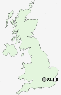
Postcode : SL1 8, Slough, Buckinghamshire
Postcodes in the SL1 8 district. Covering areas such as Littleworth Common, Widmoor, Rose Hill and Slough in Buckinghamshire.
Postcode Area SL : Slough
SL1 Postcode Sectors
SL1 8 Nearby Postcode Districts
HA0 HA1 HA2 HA3 HA4 HA5 HA6 HA7 HA9 HP10 HP11 HP12 HP13 HP14 HP15 HP7 HP8 HP9 OX49 RG10 RG4 RG9 SL0 SL1 SL2 SL3 SL4 SL6 SL7 SL8 SL9 TW5 TW6 TW7 TW8 UB1 UB10 UB11 UB2 UB3 UB4 UB5 UB6 UB7 UB8 UB9 W13 W5 W7 WD1 WD17 WD18 WD19 WD2 WD23 WD3
Stations near to SL1 8
Bourne End Rail Station about 1.35 miles away.Cookham Rail Station about 1.96 miles away.
Taplow Rail Station about 3.21 miles away.
Furze Platt Rail Station about 3.26 miles away.
Beaconsfield Rail Station about 3.27 miles away.
Burnham (Berks) Rail Station about 3.54 miles away.
SL1 8 Schools
St Paul's Church of England Combined School, WooburnDropmore Infant School
The Wye Valley School
The Meadows School
Claytons Primary School
UK Search
Antique Furniture
1000s of pieces of Antique Furniture for sale from British antique dealers.