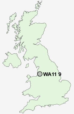
Postcode : WA11 9, St Helens, Merseyside
Postcodes in the WA11 9 district. Covering areas such as Haresfinch, Moss Bank, Old Boston and St Helens in Merseyside.
Postcode Area WA : Warrington
WA11 Postcode Sectors
WA11 9 Nearby Postcode Districts
BL3 BL4 BL5 CH41 CH42 CH44 L1 L10 L11 L12 L13 L14 L15 L16 L17 L18 L2 L20 L21 L22 L23 L25 L27 L28 L29 L3 L30 L31 L32 L33 L34 L35 L36 L39 L4 L5 L6 L69 L7 L70 L8 L9 M15 M16 M17 M2 M21 M22 M23 M25 M26 M27 M28 M29 M3 M30 M31 M32 M33 M38 M41 M44 M45 M46 M5 M6 M7 WA1 WA10 WA11 WA12 WA13 WA14 WA15 WA2 WA3 WA5 WA9 WN1 WN2 WN3 WN4 WN5 WN7 WN8
Stations near to WA11 9
Earlestown Rail Station about 1.49 miles away.Garswood Rail Station about 1.67 miles away.
Newton-le-Willows Rail Station about 1.77 miles away.
Bryn Rail Station about 1.9 miles away.
WA11 9 Schools
Newton-le-Willows Community High SchoolLyme Community Primary School
R L Hughes Primary School
Grange Valley Primary School
Newton-le-Willows Primary School
Cansfield High School
Newton Bank Preparatory School
Haydock High School
Nicol Mere School
Garswood Primary School
UK Search
Antique Furniture
1000s of pieces of Antique Furniture for sale from British antique dealers.