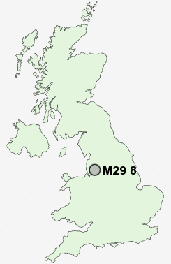
Postcode : M29 8, Wigan, Greater Manchester
Postcodes in the M29 8 district. Covering areas such as Shakerley and Wigan in Greater Manchester.
Postcode Area M : Manchester
M29 Postcode Sectors
M29 8 Nearby Postcode Districts
BL1 BL2 BL3 BL4 BL5 BL6 BL8 BL9 L34 L40 M1 M11 M12 M13 M14 M15 M16 M17 M18 M19 M2 M21 M24 M25 M26 M27 M28 M29 M3 M30 M32 M34 M35 M38 M4 M40 M41 M43 M44 M45 M46 M5 M6 M60 M7 M8 M9 OL1 OL10 OL11 OL16 OL2 OL4 OL6 OL7 OL8 OL9 SK16 SK5 WA10 WA11 WA12 WA3 WA9 WN1 WN2 WN3 WN4 WN5 WN6 WN7 WN8
Stations near to M29 8
Atherton Rail Station about 0.73 miles away.Hag Fold Rail Station about 1.44 miles away.
Lostock Rail Station about 3.43 miles away.
Bolton Rail Station about 3.55 miles away.
M29 8 Schools
Fred Longworth High SchoolMeadowbank Primary School & Children's Centre
Parklee Community School
Wharton Primary School
Tyldesley Primary School
Peel Hall Primary School
Garrett Hall Primary School
Higher Folds Primary School
Cherry Tree Primary School
UK Search
Antique Furniture
1000s of pieces of Antique Furniture for sale from British antique dealers.